

Areas and drives
Sections, game fields, drives and no-entry zones — drawn into the ground map and visible to everyone.
Not everything is a single point. Some things have a boundary.
An area is a surface drawn into the ground map as a polygon: a section, an operational group, a game field or a browsing area. Drives for a driven hunt are marked the same way, as are zones nobody may enter or that are for owners only. The app offers 8 types and, just like a point of interest, an area carries a name, a note and photos.
How to draw an area
Three steps, all of them in the map — no computer and no form on the web.
Choose “Areas and drives”
Open the actions in the map and choose areas and drives. The same menu also offers points of interest, paths and lines and measurement.
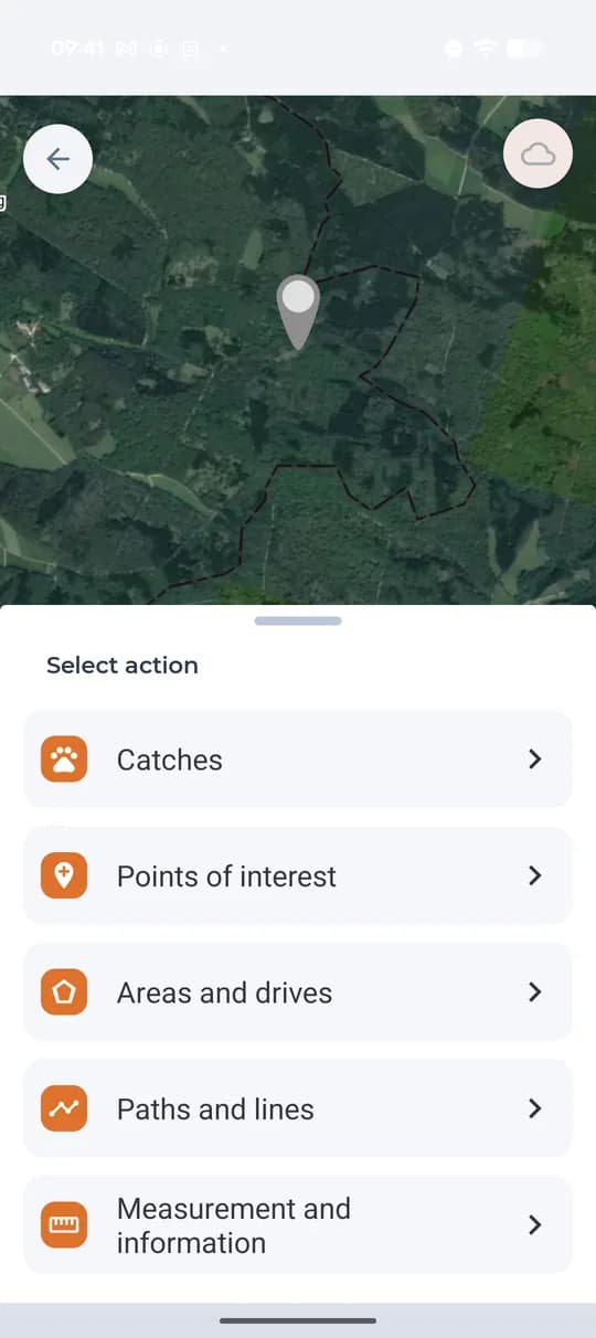
Choosing the action in the map. Draw the outline
Tap the vertices around the area. A vertex can be dragged or deleted, so the outline fits the field, the block or the drive exactly. Then confirm with Done.
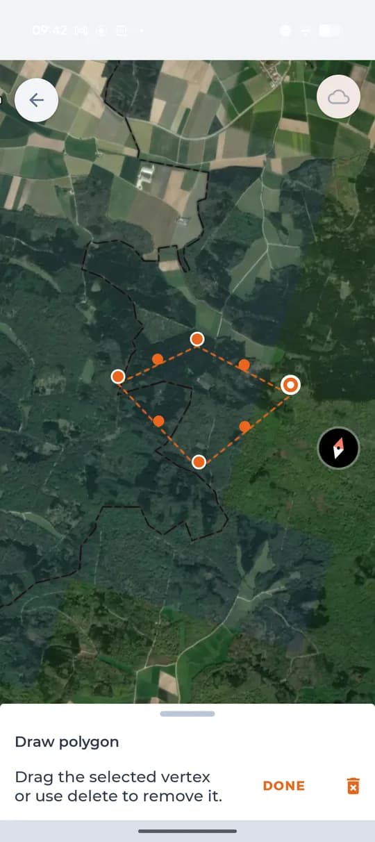
Drawing the outline of the area. Set the type and name it
Choose one of 8 types, name the area and add a note or photos. It then shows in the map the same way as points do, for everyone in the ground.
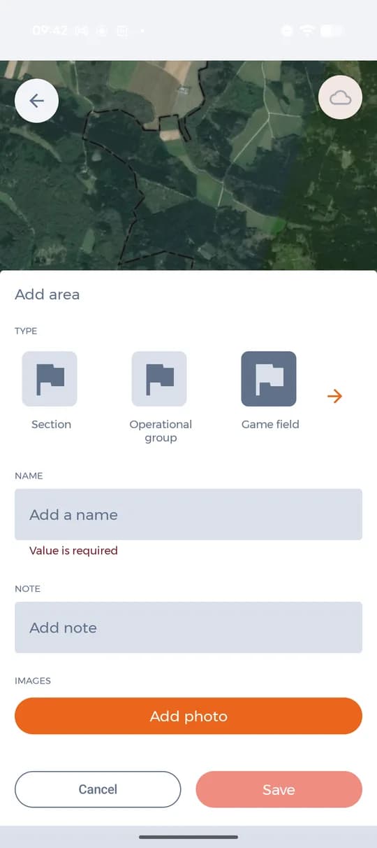
Type, name, note and photos of the area.
8 types of area
Four of them are areas of management, three mark restricted entry and the last one is the drive for a driven hunt.
- Section
- Operational group
- Game field
- Browsing area
- Dangerous
- Forbidden
- Owners only
- Drive
Drives and boundaries are easier to draw in the web app at app.hunterra.eu — for driven hunts our help recommends it too.
What Premium adds to points
You can add points of interest on every plan, including the free one. Premium decides how many photos a point can carry and how finely you can filter points in the map.
- Unlimited photos on points of interest (free plans have none)
- Filter points by type, time and author (other plans by type only)
- Unlimited ground maps, events and members
- Unlimited base maps and overlay layers
- Offline maps for use without a signal
- Connect your own trail camera
