

Location sharing
Where your fellow hunters and their dogs are, in real time — and they see you.
Nobody shoots towards a colleague they can see on the map.
Sharing is switched on with one button in the ground map. From that moment the members who also share are in your map, each with their own colour and track, and your dogs from GPS collars are there with them. It matters most during a driven hunt: you see where the line is, where the dogs are working and how far away they are. Sharing stops on its own a few hundred metres after you leave the ground, so it does not follow you home.
Live, not five minutes ago
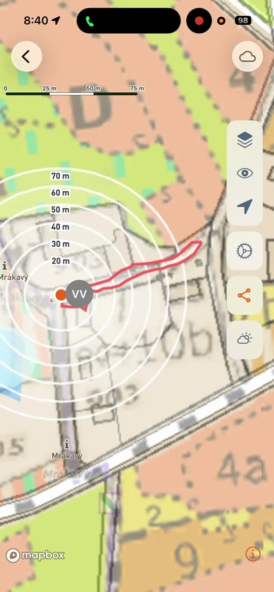
Positions and tracks update as people move. On the phone you also get a radar with distance rings, so you know whether the dog is twenty or seventy metres away.
Dogs from the collar in the same map
A dog with a GPS collar is on the map next to the people, with its own track and colour. What else the app shows — whether the dog is sitting or barking — depends on what the collar itself reports.
It ends with the hunt
You turn sharing on yourself and it switches off a few hundred metres outside the ground. During an event that has started, sharing stays on for safety and cannot be turned off.
One button in the map
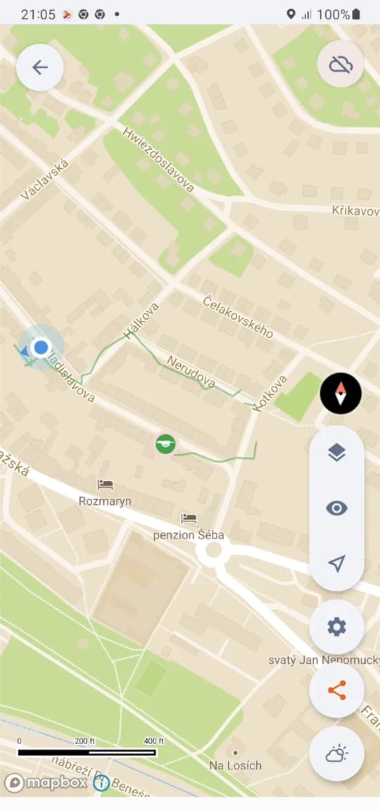
The share icon on the right side of the map turns your position on and off. The app always tells you whether you are sharing right now — you are never in doubt. Each member has their own colour, each dog its own track. In the ground you see at a glance who is where — at a hunt it is the difference between guessing and knowing.
The dog and its track in real time
The dog with the collar moves in the map with its track behind it, and the rings around it say how far away it is. On the phone you watch it as it works, without taking your eyes off the ground for long.
The whole ground on a big screen
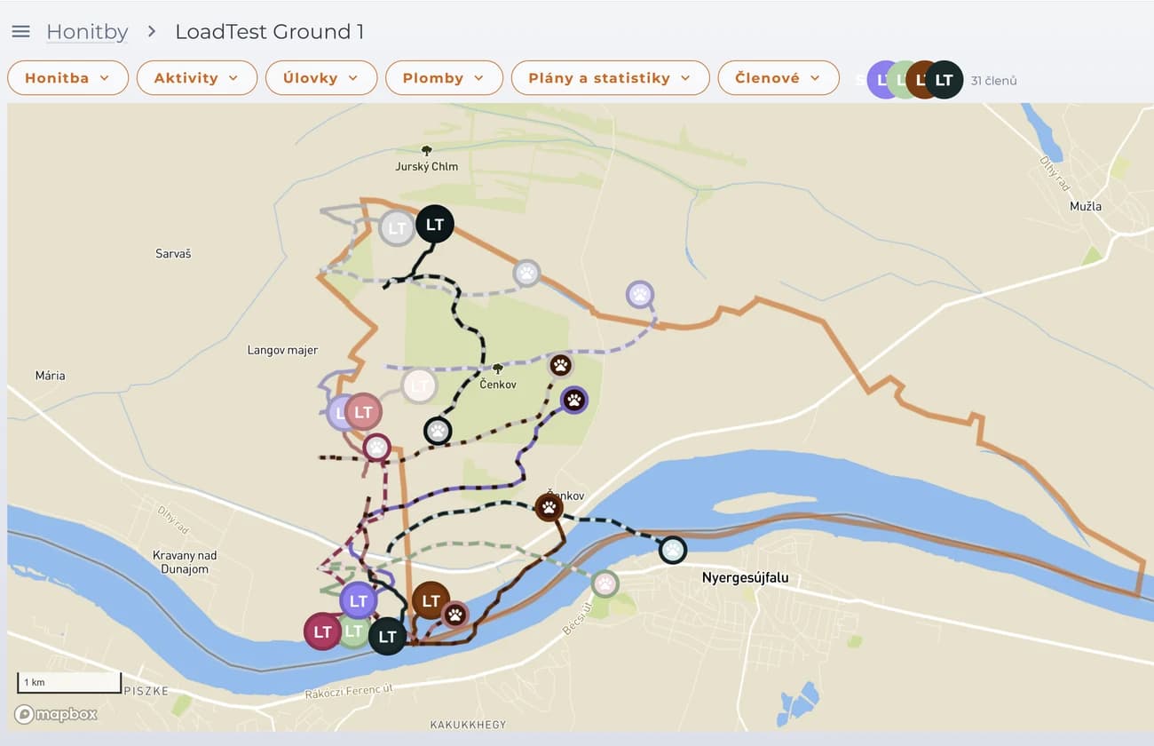
The web app shows the same thing for the whole ground at once: members, their tracks and the dogs. That is how the organiser follows a driven hunt without walking it.
Who is in the ground and what they may do is set by the roles — sharing is between members of one ground, not with the public.
Sharing and your plan
Location sharing is part of the app. The plan decides how many grounds, events and members you can share with.
- Unlimited ground maps, events and members
- Offline maps for use without a signal
- Unlimited photos on points of interest
- Filter points by type, time and author
- Connect your own trail camera
- Weather and astro forecast 24 hours ahead
